One thing that has intrigued me for some time is the possibility to visualise my flightpath while surfing around in Google Earth. With a background in aerospace engineering, I guess the idea of orbiting the Earth comes somewhat natural to me (at least in spirit), and I have always found it striking that the movement of navigating Google Earth resembles the path of spaceflight hardware, be it rocket launches, ICBMs, re-entry capsules, Low Earth orbiting satellites, the ISS, basically anything space related (near Earth). This is also the reason why I started experimenting with my little python script (earlier post). Being somewhat of a mac guy, the fact that I was coding python to interface with the Google Earth COM API (only available in windows) kind of felt akward because it would not allow me to implement my idea as a cross platform tool. Untill the cross-platform GE Sharing showed me the way...
The last few weeks were one of these weeks where everything seemed to come together in that respect. First there was the introduction of the Darfur layer in Google Earth on April 10th (an eye opener!), followed about a week later with the introduction of the GE-sharing application. Following my somewhat premature comment on the Darfur implementation (good point OgleEarth), and OgleEarth's comment on my little python visualisation script, I figured it was time to put my mouth where my money is.
So, to put a long story short, I basically started a 2-week coding trip (lots of pizza, little sleep), working my way through CGI programming, python, KML, and server-client architecture, aiming to put my python script to use in a similar fashion as had been done so cleverly by the GE Sharing guys. But just when I thought I was closing in on it last weekend, I ran into some issues (both KML/networklink related and python related) which made me come to a somewhat unanticipated halt...
Nevertheless, even though my objective of a cross platform Google Earth visualisation tool has not materialised (yet!), I have been having a lot of fun flying around in Google Earth, testing my algorithms, visualising a lot of different flightpaths, and learning about the nitty gritty details of coding python, KML and cgi by trial and error. Along the way I have collected a wide variety of screendumps logging my progress, and I like these images already well enough to wanting to share them. So with my aim to continue the development of my little app (which I dubbed 'UGO', for 'User Generated Orbit'), I started a new blog called UGO where I will post some of the progress I made sofar and will keep on posting my progress towards this goal.
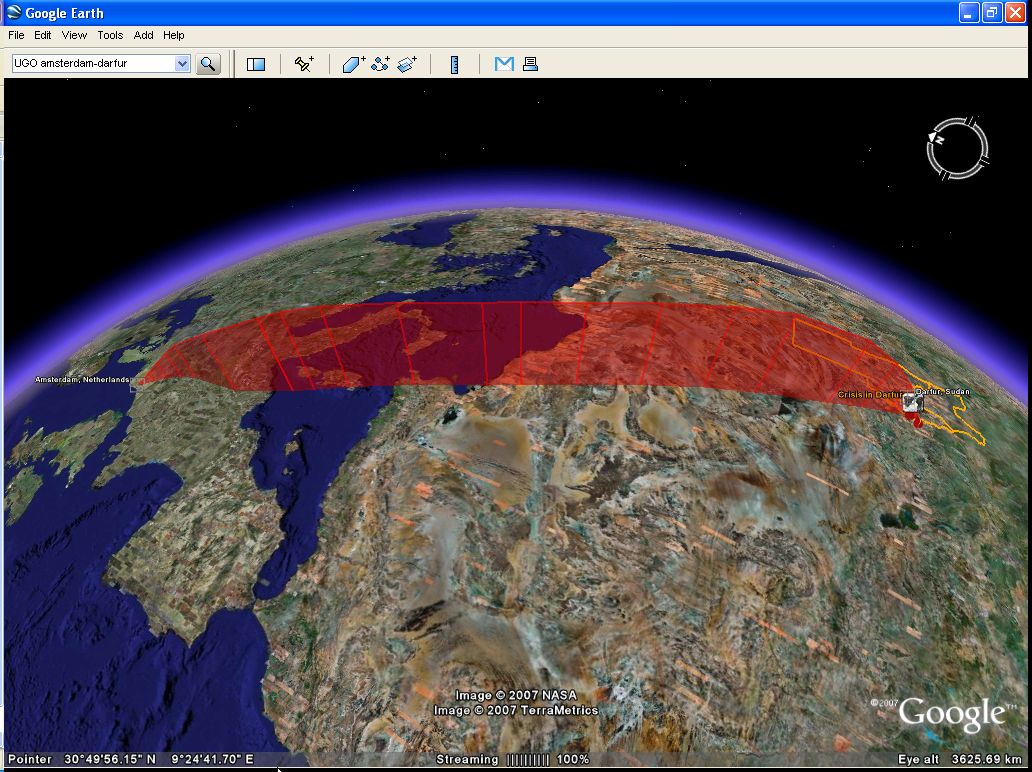
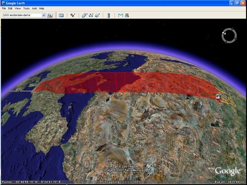
ps. Following up on my comment v.v. Darfur (earlier post), one of the other ideas that came to mind about how to harnass the collective outcry would be for people to use something like my little app to upload their personal 'Darfur UGO' and then aggregrate them all into one big Darfur layer, showing our concern the 'Google Earth way' ;) Here is mine already: kmz file.
 del.icio.us
|
del.icio.us
|
 digg
|
digg
|
 furl
|
furl
|
 Yahoo!